Download GreenValley LiDAR360 Suite v7
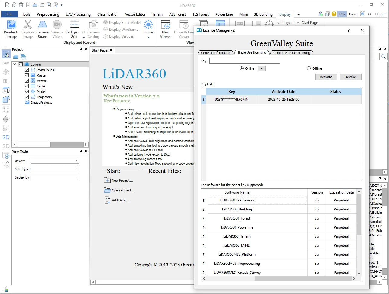
What is new LiDAR360 v7
LiDAR360 v7 introduces major upgrades in AI-driven point cloud processing, accuracy improvements, and expanded mapping tools. It enhances preprocessing, data management, and intelligent feature extraction, making it more powerful for industries like surveying, forestry, urban planning, and infrastructure.
Key New Features in LiDAR360 v7
1. Preprocessing & Accuracy
- Mirror angle correction for Livox laser trajectory adjustment.
- Hybrid adjustment to improve point cloud accuracy.
- Optimized data registration supporting both point clouds and models.
- Automatic trimming for boresight to streamline calibration.
- Z-value recording in projection coordinates for trajectory data.
2. Data Management & Visualization
- Point cloud RGB brightness/contrast control for better visualization.
- Smoothing line tool with multiple smoothing methods.
- Export options expanded: point clouds to PLY, building models to DAE.
- Mesh smoothing tools for cleaner outputs.
- Improved reprojection tool with favorites management and projection selection from layer directory tree.
- Boundary extraction optimized to handle inner rings and island-like boundaries.
- Enhanced color extraction from images for more accurate coloring based on image projection.
3. AI-Powered Feature Extraction
- Automatic classification of point clouds using AI.
- Road marking extraction and digitization automated.
- Road facility detection integrated.
- Custom AI model training supported for industry-specific needs.
- Expanded vector mapping/editing tools (over 100 now available).
Download GreenValley LiDAR360 Suite v7 free download
Download